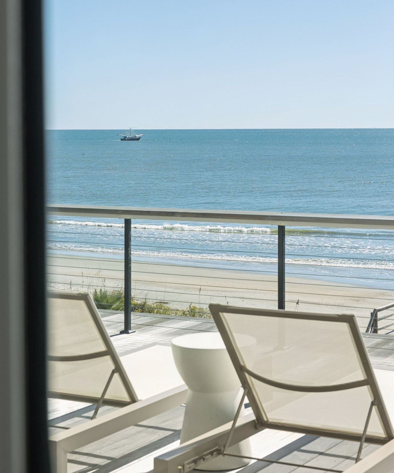
Daniel Island is planned almost to the last streetlight. Behind Talison Row, at the end of Seven Farms Drive, 115 acres of Cooper River shoreline are the exception. The Daniel Island News reported in August that the land has stayed untouched since Berkeley County bought it in 2024.
The county calls it the North Island Tract. It will be a park, and the decisions about what kind of park are starting now. The biggest one is how much of the tract's history and old growth the design protects. Residents get their first say on that at public meetings the county has said will come after it hires a design consultant.
How a port parcel became county parkland
The land came from the South Carolina Ports Authority. Berkeley County paid about $4 million for it in June 2024, using its Greenbelt Program and state grants. In an August 2024 release, the county said $2 million of that came from the SC Conservation Bank and State Resiliency Funds.
The Greenbelt money traces back to a vote. In November 2022, Berkeley County voters extended the county's One-Cent Sales Tax Program for another seven years. For the first time, up to $58.7 million of it could go to greenbelt projects, such as buying land for conservation or creating passive green space. On the county's Greenbelt site, the North Island Tract appears next to Epson Oaks in Moncks Corner and Blessing Plantation in Huger.
Speaking to The Daniel Island News in 2025, former Berkeley County Councilman Josh Whitley explained why this site mattered. "It was incredibly significant that the county's first acquisition under the Greenbelt program was this property, which was likely to be developed with more rooftops," he said. He added that it "will be a county park indefinitely and eventually accessible to the public at large."
| Date | Step |
|---|---|
| June 26, 2023 | Berkeley County Council unanimously approves the planned purchase |
| June 2024 | Purchase from the SC Ports Authority closes, about $4 million |
| FY2027 budget | County sets aside money to start conceptual design |
| Aug. 6, 2026 | "Greenbelt Park Design" request for proposals opens |
| Sept. 1, 2026 | Addendum posted to the RFP |
| Sept. 10, 2026 | Proposals due; RFP closes |
| Next | Consultant selection, public meetings, concept plan to County Council |
The history is part of the site
The Cooper River shoreline here is not a blank waterfront. The Charleston County Public Library's Charleston Time Machine traces licensed ferry service to 1731. That year Charles Codner began running a ferry between Daniel Island's west side and Long Point, and the library also describes Scott's Ferry service from Daniel Island in the years before the Revolution.
According to The Daniel Island News, the tract holds archaeological sites believed to be tied to the Revolutionary War and was once home to an important ferry crossing. Berkeley County Council member Jarrod Brooks told Live 5 that artifacts have been found on the property and that it was a launching point in the Revolutionary War era.
That history is why the order of the planning work matters. Tory Sullivan, a member of the Greenbelt Commission, told The Daniel Island News he wants the land understood before anyone decides what goes on it.
"I'd very much like to see a comprehensive assessment of what's there, what's natural and invasive – a detailed survey. This will give the planners a baseline for what exists today."
He named the features he would protect. "The site has many mature trees, so we'd want to see those preserved," he said. "The views of downtown Charleston and the Ravenel (Bridge), Leatherman Terminal, and access to the Cooper is definitely something that should be front and center and celebrated." In the Live 5 story, a Daniel Island resident pointed to the trees, the osprey and the other wildlife already on the site.
What "passive park" commits the county to
County officials have used one phrase consistently. Brooks told Live 5 the plan is a passive park built around "things such as trails, perhaps a dock," with no active programming. In 2025 he described it to The Daniel Island News as a riverfront space that highlights wetlands, wildlife, and "the unique features of the property's waterfront, undisturbed nature, and ponds."
So on the island, the North Island Tract is headed for a different role than Governors Park. There are no ball fields or courts in the plan. The ideas raised so far are walking trails, boardwalks and a possible pier. The county's public information officer, Jenna-Ley Walls, has said those ideas came from informal conversations before the purchase and will be settled through master planning informed by community feedback.
The county's Greenbelt Park Design RFP lists the steps the chosen consultant will follow, and the order matters for this site:
- Evaluate existing conditions on the land.
- Engage the community and stakeholders.
- Develop design alternatives.
- Prepare a preferred master plan with phasing and cost estimates.
Sullivan's survey of trees, invasives and archaeology belongs in step one. Residents come in at step two. According to The Daniel Island News, the consultant will also master-plan three other greenbelt park properties, so the North Island Tract shares the contract with other sites. Walls told the paper that "the request for proposals requires the county to seek public input, which will include public meetings."
The RFP closed on Sept. 10. As of The Daniel Island News report in August, the county had not set a timeline for choosing a consultant or dates for the meetings. The contracts list Berkeley County publishes does not yet include an award for the design work. Sullivan has described the park as a neighborhood gathering place, a Daniel Island destination and a regional draw, connected to the island's existing trails and nearby protected land. The first public meetings are where those goals will be weighed against each other.
Reaching the Cooper and Wando this fall
Until the tract opens, the island's river frontage is in parks residents already know, and two of them have short-term changes this month.
- Waterfront Park, 1 River Landing Drive. Swings, a hammock garden, a fountain play area and gathering spaces, owned and maintained by the Daniel Island Property Owners Association.
- The River Landing Drive boardwalk. The POA announced that the Daniel Island Town Association, funded by the Daniel Island Community Fund, is rebuilding the boardwalk between Fairchild Drive and Seven Farms Drive. That section closed Monday, Oct. 5, for about six weeks, weather permitting, which puts the reopening around mid-November. The POA has asked walkers to stay behind the posted barriers.
- Governors Park. City-maintained soccer fields, basketball courts, a dog run, a playground and waterfront trails.
- Smythe Park. An 11-acre lake with a kayak dock, walking and history trails, picnic areas and a pirate-themed playground. On Oct. 6 the POA reported a fish kill in Smythe Lake, which SCDES attributed to low dissolved oxygen after heavy rain. The POA asked visitors to keep children and pets off the shoreline until cleanup is finished.
Smythe Park already pairs a walk with local history on its trails. The North Island Tract could do the same thing at a larger scale, on the shoreline that once held an important ferry crossing, if the survey and the public meetings put the history first.
We're keeping an eye on the North Island Tract plan, from the consultant pick to the first public meeting on what the end of Seven Farms Drive becomes. If you'd like to talk through what the park could mean for that corner of the island, Smith Spencer Real Estate is glad to help. Contact Us.